Trick-or-treat safety map launches just in time in the GTA
Published October 14, 2025 at 3:14 pm

With Halloween right around the corner, a new travel map is looking out for trick-or-treaters.
Nextdoor, a digital platform that monitors community safety, has released its real-time ‘Treat Map’ highlighting areas in your community for the best houses for accessible and allergy-conscious treats, as well as other neighborhood watch-adjacent materials.
Data provided by Nextodoor showed that half of young Canadian parents are more concerned with speeding cars than any other hazard on Halloween night. While 40 per cent of parents are worried about weather, 31 per cent about food safety, and 25 per cent about bullies hiding behind costumes.
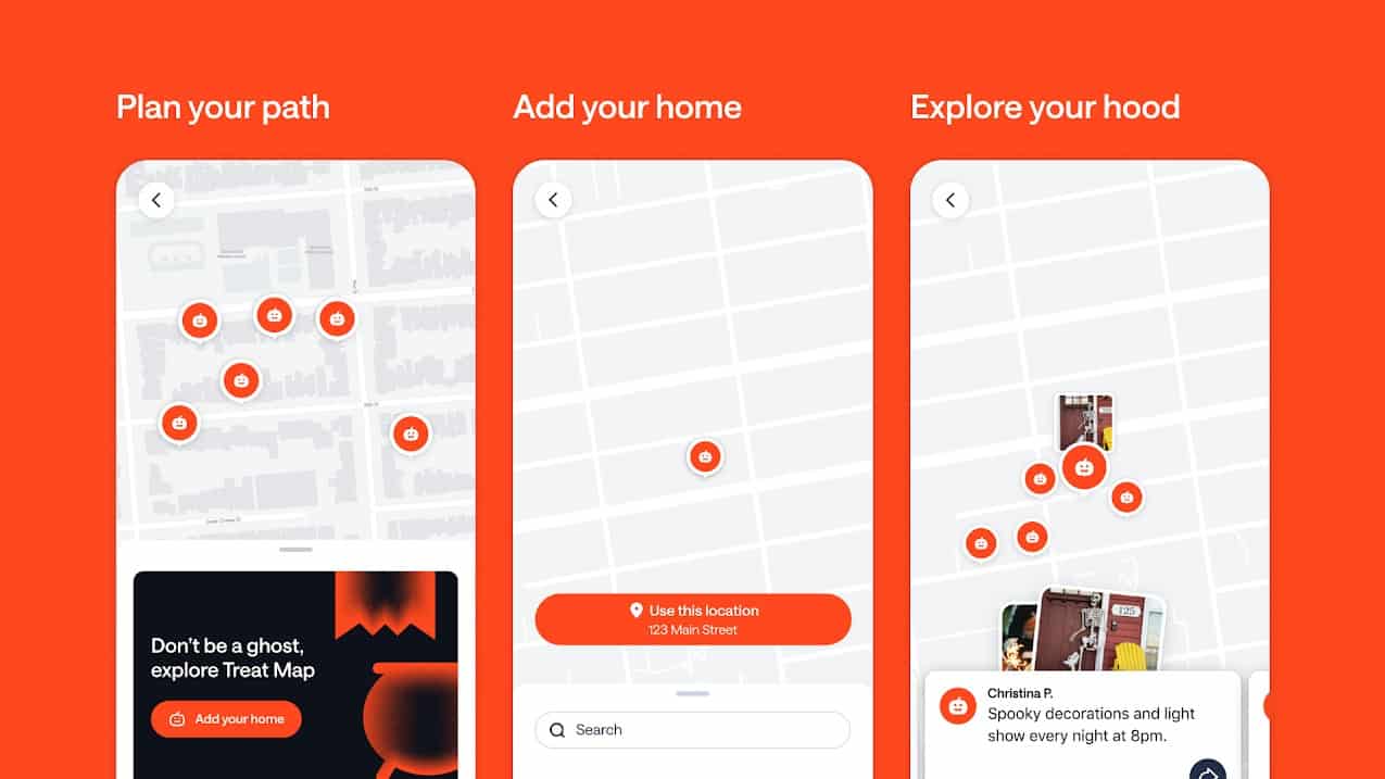
“The Treat Map is about more than finding candy — it’s also about giving families peace of mind,” said Kelsey Grady, Chief Global Communications Officer at Nextdoor, in a statement.
Running parallel to their Treat Map is the newly integrated Alerts map from Nextdoor, which provides updates on crime, road closures, and other community safety information, that, according to Nextdoor, will “help ensure a secure night of trick-or-treating.”
Nextdoor representatives hope both maps will help set a new standard for Halloween safety in high-density urban areas, with Grady adding, “Halloween should be safe, fun, and easy to plan. With parents telling us their biggest concerns are road safety and community supervision, the Treat Map helps communities come together to create safer routes, highlight allergy-friendly homes, and make sure every child can enjoy the night without worry.”